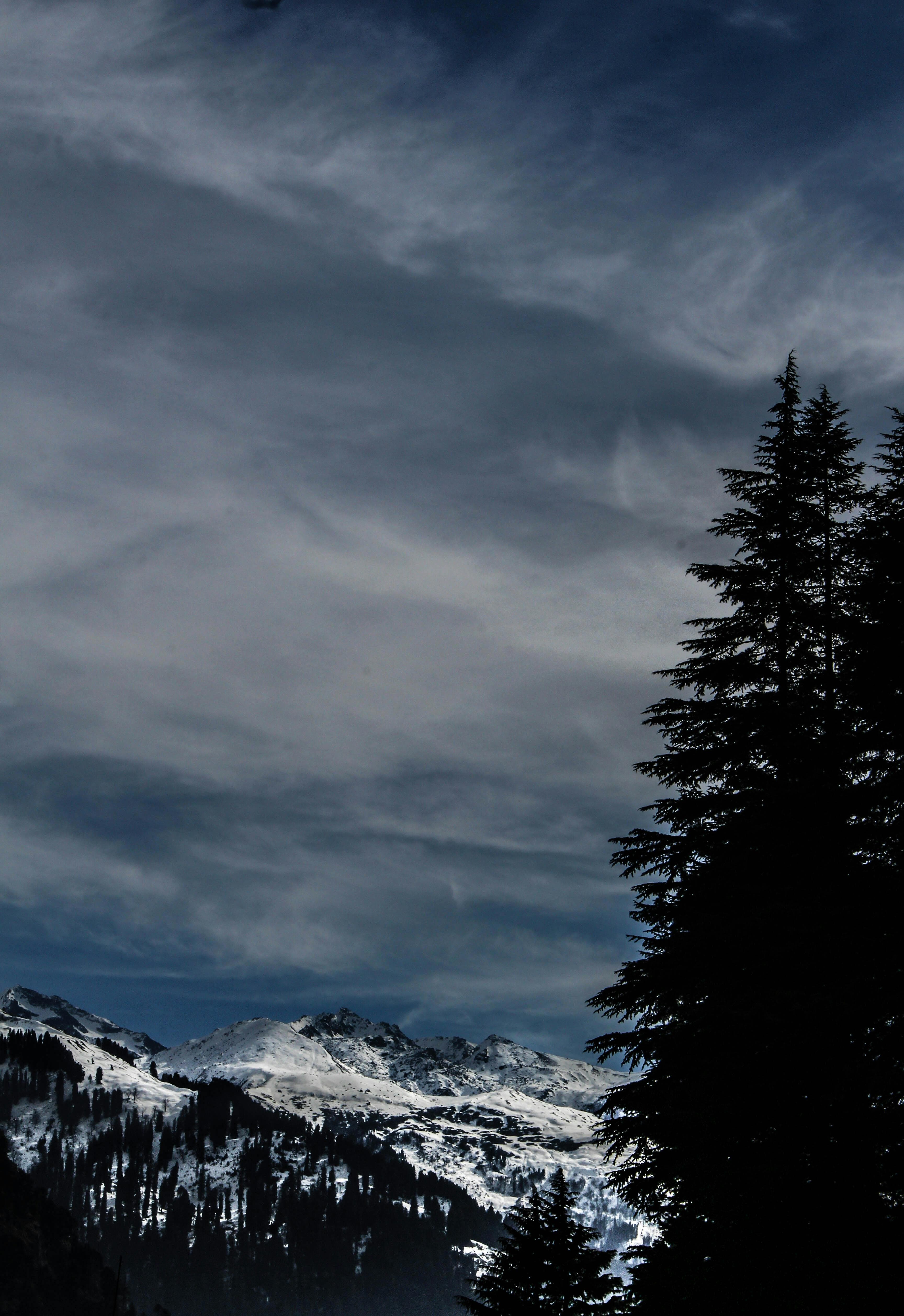
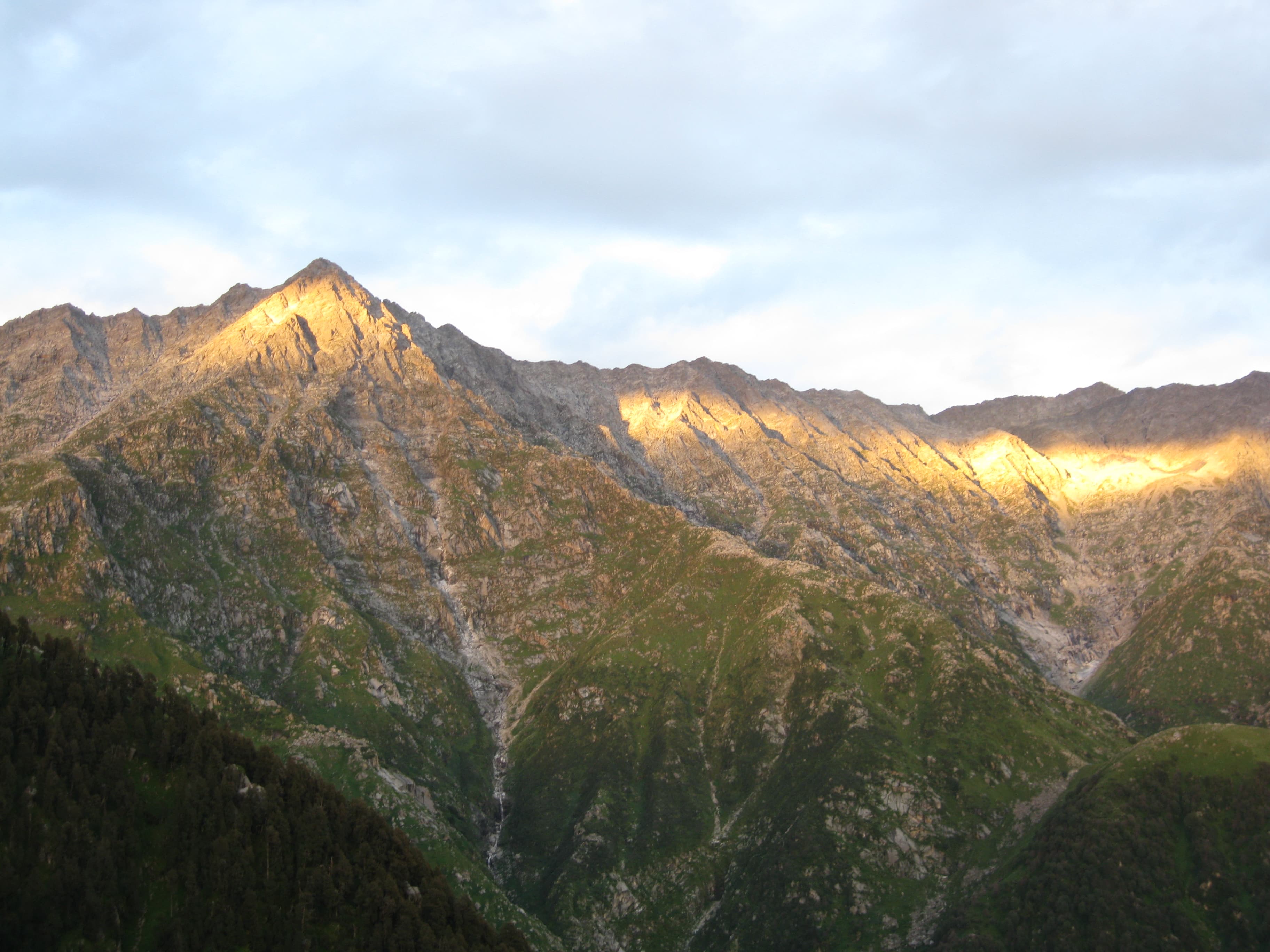
Short answer: Kareri Lake is a shallow freshwater lake at about 2,934 m on the southern side of the Dhauladhar range, roughly 9 km north-west of Dharamshala as the crow flies. The trek starts from Kareri village and is about 13 km each way, usually done in two days with a night’s camping, or three at an easier pace. It is rated moderate. The lake is frozen from about early December to March or April; the best months are May–June and September–November.
It is quieter and longer than Triund, and a good next step for someone who has done one day hike and wants a proper overnight trek.
Trek at a glance
| Detail | What to expect |
|---|---|
| Lake height | About 2,934 m (9,626 ft) |
| Start | Kareri village, a Gaddi village in Kangra district |
| Distance | About 13 km each way (about 26 km round trip) |
| Days | 2 days / 1 night, or 3 days / 2 nights |
| Terrain | Pine and mixed forest, a stream valley, then rocky grassland |
| Difficulty | Moderate; rated moderate to tough by some sources |
| Fed by | Snowmelt from the Dhauladhar; the outflow is the Nyund stream |
Getting to the start
- By bus and on foot: local buses run from Dharamshala to Ghera village; from there Kareri village is about a two-hour walk.
- By taxi: a cab from Dharamshala or McLeod Ganj to the road-head near Kareri saves roughly two hours of walking. Agree the fare in advance — quoted prices vary widely.
There are no ATMs beyond Dharamshala. Withdraw cash and buy supplies before you leave town. For reaching Dharamshala itself, see how to reach Dharamshala from Delhi.
The route, day by day
Day 1: Kareri village to Reoti (about 6 km, 4–5 hours)
From the village the path enters pine forest, reaches the Nolli bridge and then climbs beside the stream, past a waterfall, to the camping ground at Reoti (also written Rioti or Liyoti). This section is well defined. There are stream crossings on wooden bridges or boulders.
Day 2: Reoti to Kareri Lake (about 6–7 km, 4–5 hours) and back
Above Reoti the forest gives way to rocky grassland and the trail markings become less obvious — this is where people lose the path. The lake sits in a bowl beneath the ridge, with a small temple to Shiva and Shakti on a rise above it. Most groups return to Reoti or to Kareri village the same day.
Optional Day 3
A slower version spends a night at the lake or at Reoti and walks out on the third day. This is the kinder plan for first-timers.
Distances and times are compiled from published trek descriptions and vary between sources.
How hard is it?
Moderate. The distance is the main challenge — around 13 km each way with a steady climb — plus rough ground and route-finding on the upper section. A person who walks regularly and has done a day hike such as Triund can do it. A guide from Kareri village is strongly advisable for first-timers because of the faint trail higher up.
Kareri or Triund?
| Triund | Kareri Lake | |
|---|---|---|
| Length | Day hike | 2–3 days |
| Height | About 2,850 m | About 2,934 m |
| Crowds | Busy | Much quieter |
| Route-finding | Well marked | Faint in the upper section |
| Best for | First trek, limited time | A first overnight trek |
Read the Triund trek guide for the shorter option.
When to go
- May to June: snow has largely melted; long days and full streams.
- July to mid-September: monsoon. This area receives very heavy rain; streams swell and crossings can become dangerous. Avoid.
- September to November: clear, cool and stable — the best window.
- December to April: the lake is frozen from about early December to March or April, with snow on the route. For experienced snow walkers with a guide only.
Permits and camping
We could not find a clear official statement of how individual trekkers obtain forest permission for this route. Organised treks generally include forest and camping permissions in their arrangements. If you are going independently, ask at the Forest Department office in Dharamshala or in Kareri village before you set out, and do not assume camping is allowed wherever you like.
What to carry
- Trekking shoes with ankle support; spare socks.
- Warm layers and a waterproof jacket — nights near 3,000 m are cold even in summer.
- Sleeping bag and tent if you are self-supported.
- Food for the whole trek; there are few or no shops on the route.
- Water bottles and a way to treat stream water.
- Torch, basic first-aid kit, personal medicines, sunscreen.
- Cash, photo ID, and a bag for all your waste.
Safety
- Do not attempt stream crossings in spate; wait or turn back.
- Above Reoti, keep the group together and use a guide if the trail is unclear.
- Check the forecast and tell someone your route and return time.
- Mobile coverage is poor to absent.
Beyond the lake
Experienced trekkers continue from Kareri over Minkiani Pass (about 4,250 m) towards Chamba, and Kareri is a base for longer high-lake routes. These are serious multi-day treks, not extensions to add on a whim.
Official sources
- Kangra district administration — local advisories.
- Himachal Tourism
- Himachal Pradesh Forest Department — trekking and camping rules.
- HRTC online booking — state bus timetables and fares.
- India Meteorological Department — forecasts and warnings.
Want it organised?
Funtoor can arrange a guided Kareri Lake trek from Dharamshala — guide, camping, transfers and the permissions that apply — and will tell you plainly whether your dates suit the route. Plan my Kareri Lake trek. See also our overview of the best treks in Himachal Pradesh.
Frequently asked questions
How long is the Kareri Lake trek?
About 13 km each way from Kareri village, usually done over two or three days.
Is the Kareri Lake trek difficult?
Moderate. The distance and the faint upper trail are the main difficulties.
What is the best time for Kareri Lake?
May–June and September–November. The lake is frozen from about early December to March or April.
Do I need a guide for Kareri Lake?
It is strongly advisable for first-timers, because the trail above Reoti is not clearly marked.
What is the altitude of Kareri Lake?
About 2,934 m (9,626 ft).
Compiled by the Funtoor team from published sources and official pages, last reviewed in October 2026. It is a planning guide, not a first-hand trip report; conditions, fees and timetables change, so confirm anything time-sensitive before you travel.
Written by
Funtoor Travel Team
Travel planners based in Chail, Himachal Pradesh. We plan and arrange trips — stays, transport and experiences — across the Himalayas.