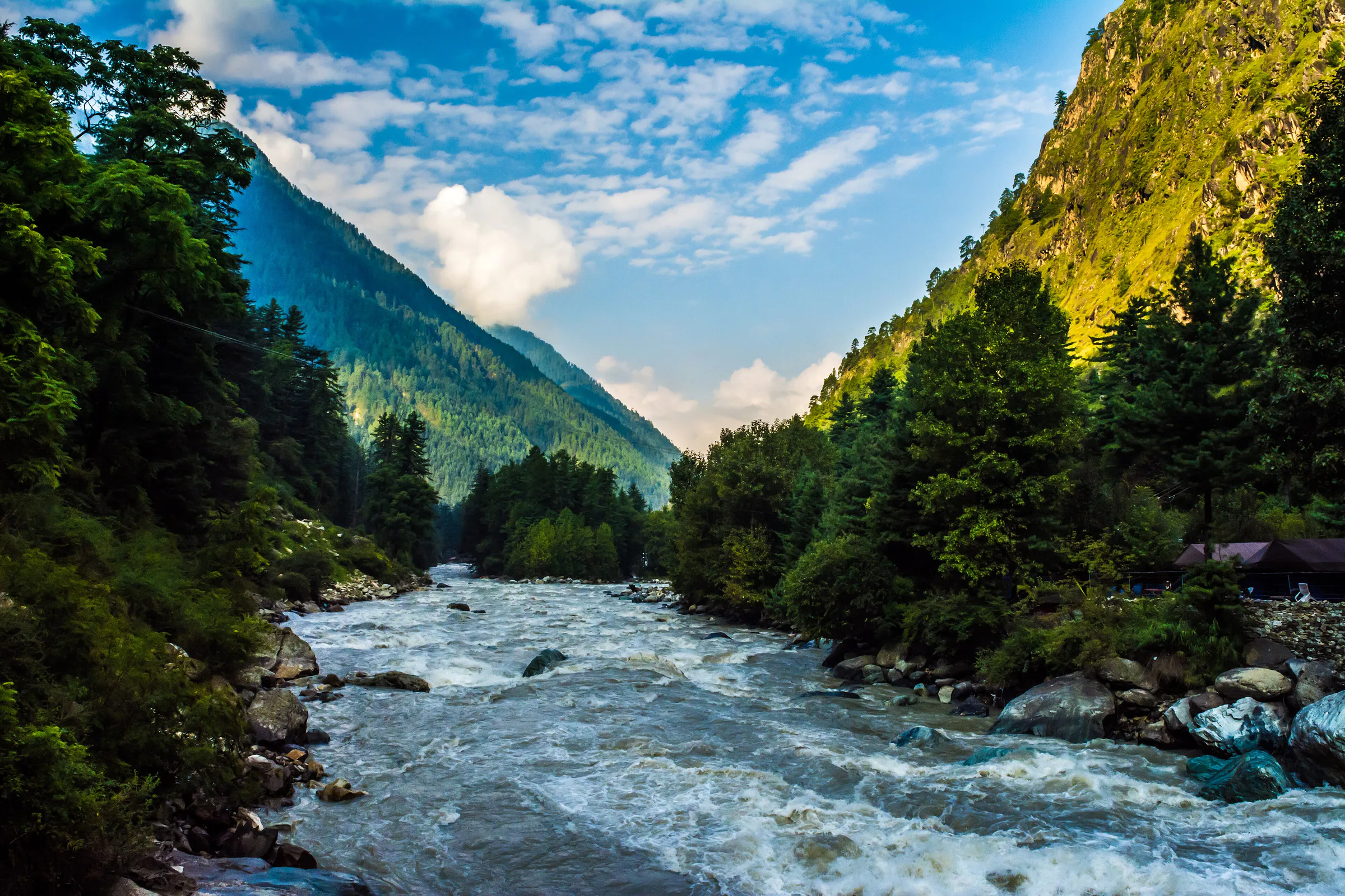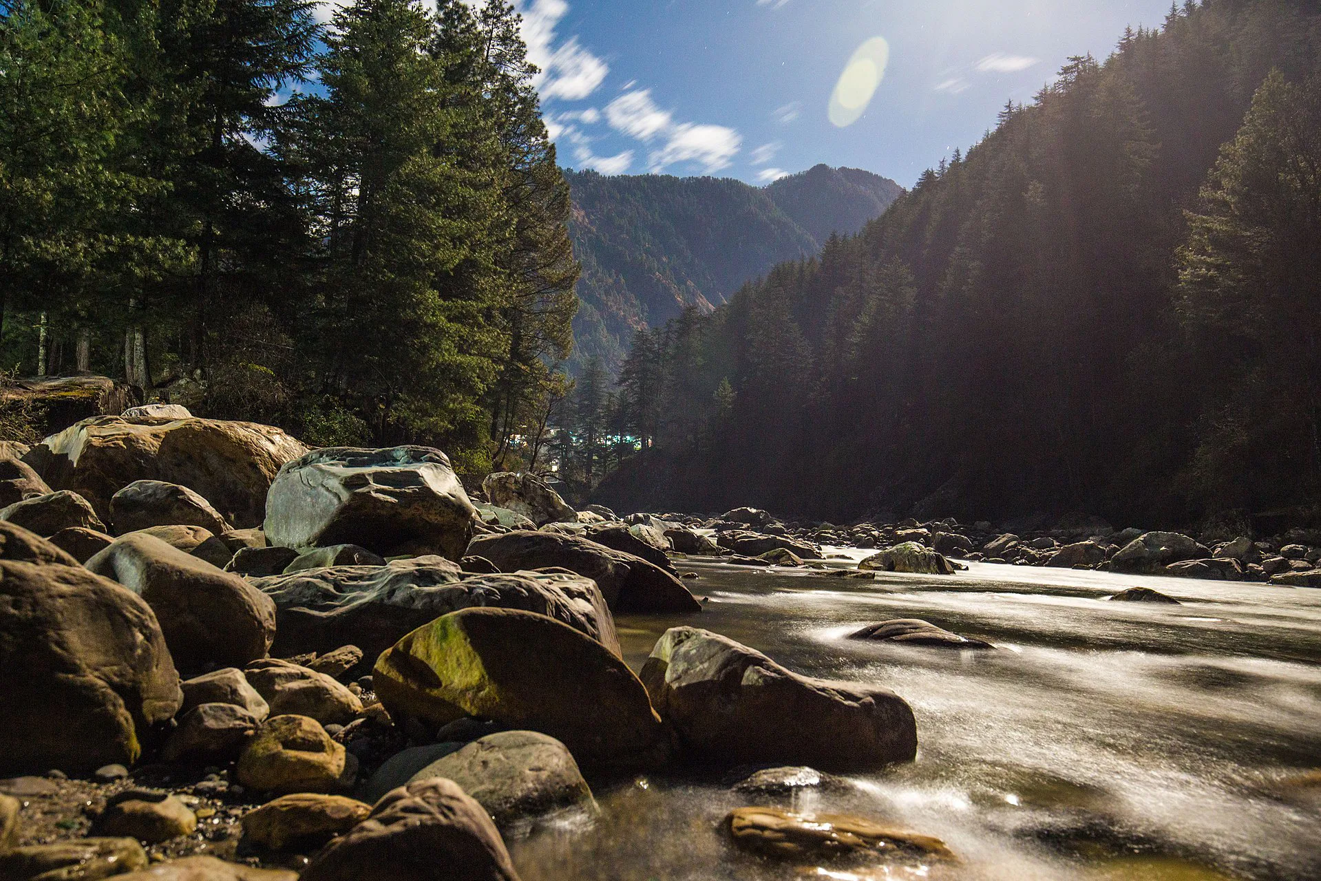
Short answer: Kasol is a village at about 1,580 m on the Parvati river, reached by the road that leaves the Kullu valley at Bhuntar. Beyond it lie Manikaran, known for its hot springs and gurudwara, and Barshaini (about 2,200 m), where the road ends. From Barshaini you can go up to Tosh village (about 2,400 m) or walk to Kheerganga (about 2,950 m), a trek most sources put at 12–14 km one way. Plan three to four days.
The valley at a glance
| Place | Height (approx.) | What it is |
|---|---|---|
| Bhuntar | — | Junction town in the Kullu valley with the nearest airport; the Parvati valley road starts here |
| Kasol | 1,580 m | Main base: cafés, stays and the last reliable ATM |
| Manikaran | — | Pilgrim town with hot springs, a gurudwara and temples |
| Barshaini | 2,200 m | Road-head; start for Tosh and Kheerganga |
| Tosh | 2,400 m | Village above the Tosh stream, a short drive or walk from Barshaini |
| Kheerganga | 2,950 m | Meadow with a hot spring, reached on foot |
Heights are published estimates and differ slightly between sources.
What to do
- Kasol: riverside walks, cafés, and the short walk to Chalal village across the river.
- Manikaran: the gurudwara and its langar, and the hot springs. Dress modestly and cover your head inside.
- Tosh: a quiet night with valley views; a good first step up in altitude.
- Kheerganga trek: forest and waterfall trail from Barshaini, usually four to six hours up.
- Grahan: a village trek from Kasol, often offered as an alternative when snow closes Kheerganga.
The Kheerganga trek
- Distance: 12–14 km one way from Barshaini, depending on the trail taken.
- Grade: easy to moderate; the path is clear but long, with slippery sections after rain.
- Overnight: rules on camping at the top have been tightened and relaxed more than once. Confirm what is allowed before planning a night there.
- Winter: heavy snow can close the trail.
- Start early, carry rain cover and a torch, and do not walk the trail after dark.
When to go
- March–June: the main season; comfortable days, cool nights.
- July–August: monsoon. The Parvati is fast and cold, and the valley road and trails are prone to landslides and flash floods. Avoid if you can.
- September–November: clear weather and fewer people.
- December–February: cold, with snow higher up; many stays in the upper villages close.
Staying safe and legal
- The river: do not go into the Parvati or sit on rocks at the water's edge. People are swept away every year.
- Walking alone: trekkers have gone missing in this valley. Use a registered guide on anything beyond the main trails and tell your stay where you are going.
- Drugs: cannabis and other narcotics are illegal in India and the police do check. Do not buy, carry or use them.
- Cash and network: withdraw money in Kasol or earlier; coverage weakens beyond it.
- Waste: carry your rubbish back down from Kheerganga and Tosh.
Getting there
Overnight buses from Delhi and Chandigarh towards Manali stop at Bhuntar; from there local buses and taxis run up the valley to Kasol, Manikaran and Barshaini. Bhuntar also has the Kullu airport, with limited, weather-dependent flights. If you are choosing between bases, read Manali vs Kasol; Kasol also pairs well with Jibhi and the Tirthan side.
Check before you go
- Kullu district administration — advisories and trekking notices.
- India Meteorological Department — forecasts and warnings.
- HRTC online booking — state bus timetables and fares.
Plan a Parvati Valley trip
Funtoor can arrange transport from Delhi or Chandigarh, stays in Kasol and Tosh and a guide for Kheerganga. Plan my Kasol trip.
Frequently asked questions
How long is the Kheerganga trek?
About 12–14 km one way from Barshaini, usually four to six hours up.
What is the best time to visit Kasol?
March to June and September to November. The monsoon months carry landslide and flood risk.
Is Kasol good for families?
Kasol and Manikaran are easy to visit with family. Keep children well away from the river.
How many days do I need?
Three days covers Kasol, Manikaran and Tosh; add a day for Kheerganga.
Is there an ATM in Kasol?
Yes, but it is the last dependable one in the valley, so carry enough cash for the villages beyond.
Compiled by the Funtoor team from published sources and official pages, last reviewed in October 2026. It is a planning guide, not a first-hand trip report; distances, fees, rules and timetables change and sources differ, so confirm anything time-sensitive before you travel.
Written by
Funtoor Travel Team
Travel planners based in Chail, Himachal Pradesh. We plan and arrange trips — stays, transport and experiences — across the Himalayas.